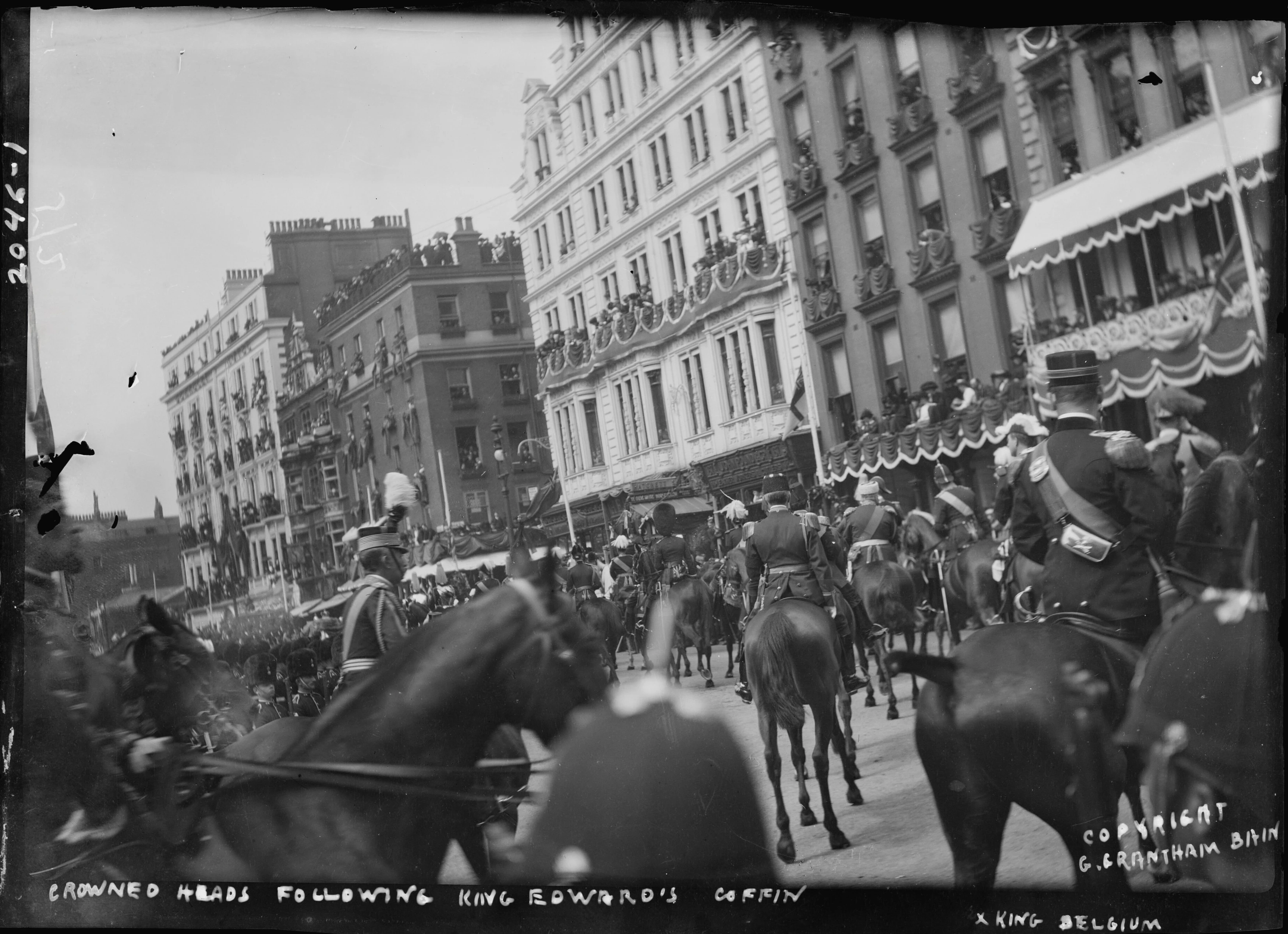
DescriptionCrowned heads of state, including King Albert I of Belgium (right), riding on horseback down Piccadilly in London during the funeral procession of King Edward VII.
LicenseBain News Service, publisher, Public domain, via Wikimedia Commons
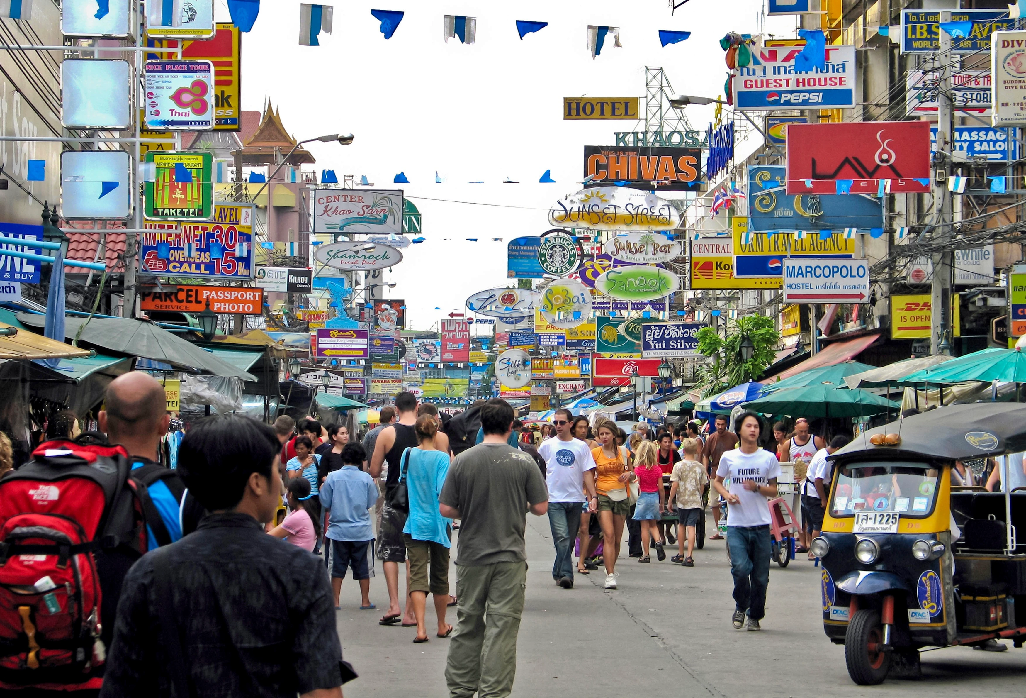
DescriptionA street scene on Khao San Road in central Bangkok, cluttered with shop signs, banners, and overhead advertisements. Today, the road appears much cleaner and more open following Bangkok city efforts to reduce visual clutter.
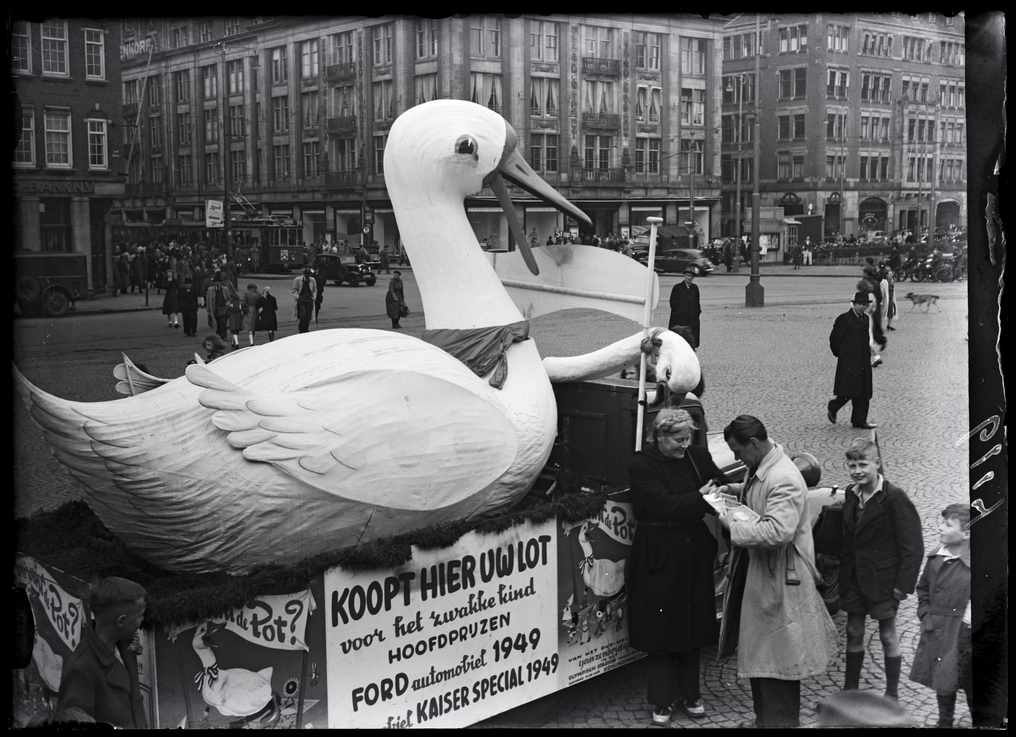
DescriptionA giant goose float in Dam Square, Amsterdam, promoting a charity event named 'Who Wins the Pot?', a life-sized version of the traditional Dutch board game Ganzenbord (Game of the Goose) held at the Olympic Stadium to raise funds for vulnerable children, featuring grand prizes like Ford and Kaiser cars.
LicenseBen van Meerendonk / AHF, CC BY-SA 4.0, via IISG on Flickr
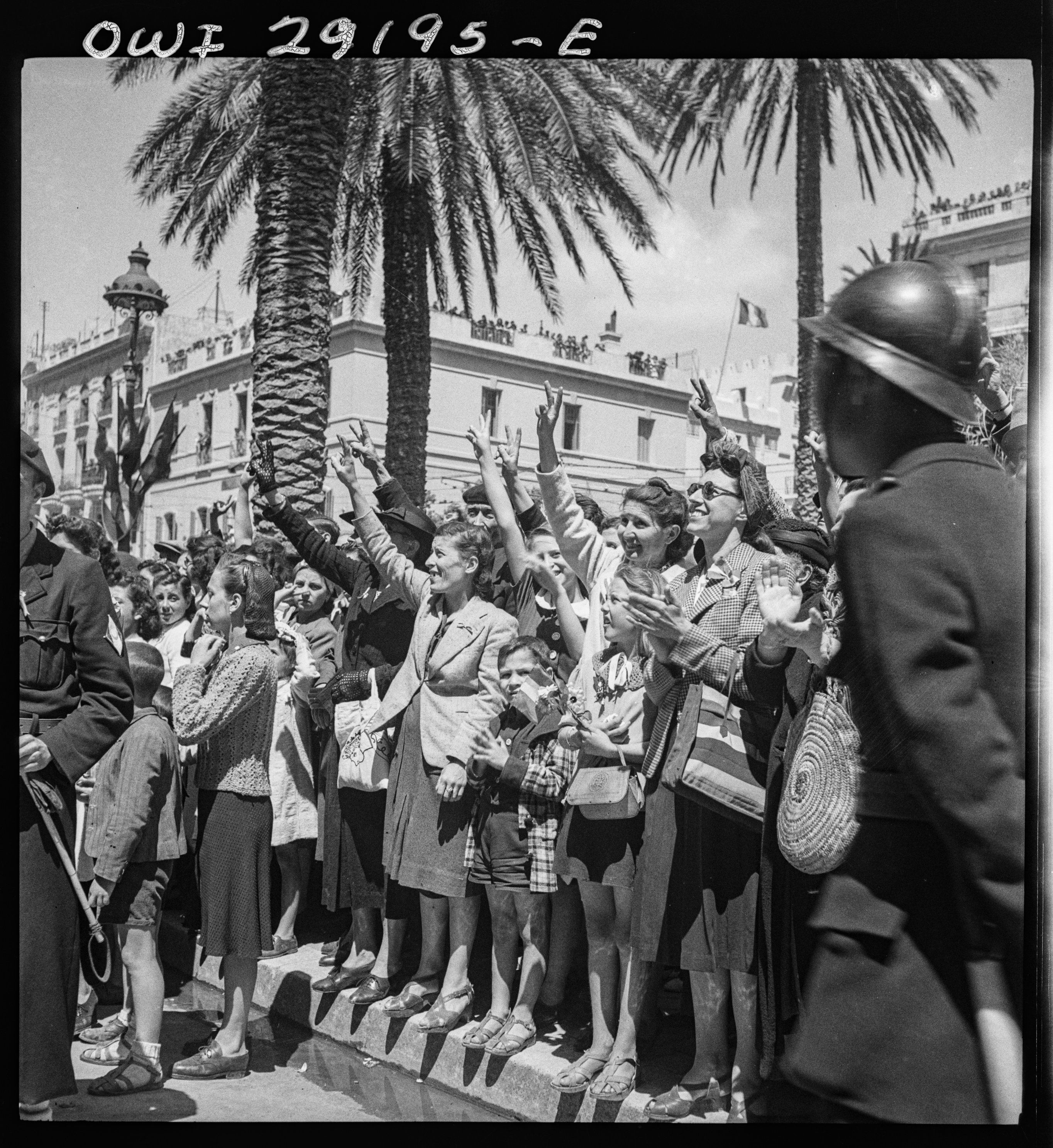
DescriptionCrowds welcoming Allied troops into Tunis following the liberation of the city from Axis forces. Although France had a history of violent colonial suppression in the region, which continued until Tunisian independence in 1956, the relief from a brutal German and Italian occupation led many locals to transiently welcome French and Allied forces.
LicenseNick Parrino, No copyright restrictions, via Library of Congress